Stay updated with all the news from our growing association and the horticulture industry globally

Subscribe to our weekly newsletter and be first to:
read about the latest trends
hear about new exhibtions
gain insights to our latest reports

The International Association of Horticultural Producers (AIPH) members consist of thousands of growers of flowers and ornamental plants around the world who are together united by one essential goal – promoting the place of plants in people’s lives.

Our Annual Review in 2023 marks AIPH'S 75th Anniversary and the many activities we have achieved
Learn moreAIPH is responsible for approving the world’s most exceptional horticultural expos creating long lasting green legacies in cities across the globe.
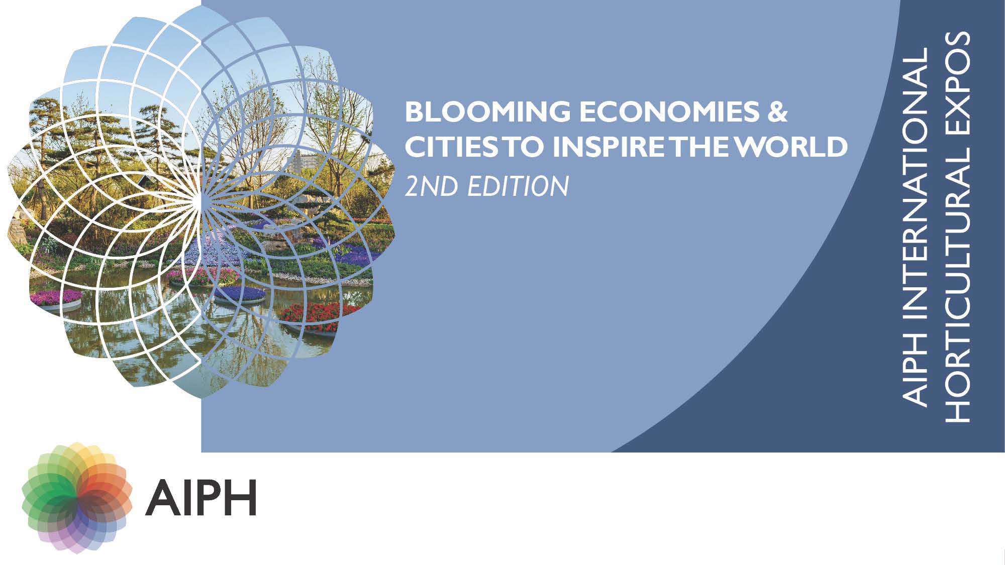
AIPH Blooming Economies & Cities to Inspire The World 2.0. Up-to-date statistics from recent Expos hosted in Asia and Europe.
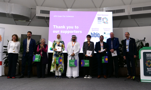
Learn moreAIPH hosts several conferences, webinars and events such as the International Grower of the Year award throughout the year. Read about these along with the latest news about the association’s activities.
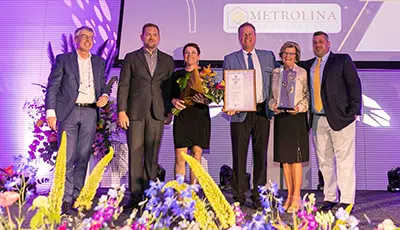
The AIPH International Grower of the Year Awards celebrate the best of the best in ornamental horticulture
Learn moreAIPH’s key aim is to stimulate demand for ornamental trees, plants and flowers worldwide. We are committed to supporting growers in achieving this by protecting and promoting the interests of the industry.
The AIPH’s Global Industry Intelligence Centre (GIIC) is an international hub for industry information and knowledge exchange.
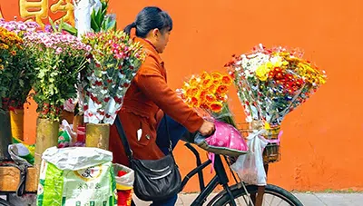
The report contains research into; Working middle class in China. Domestic production in China & Retail research summary of the floral retails survey.
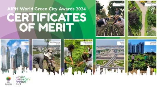
DownloadAIPH Green City activities promote the essential role of plants in creating vibrant urban areas in which people and businesses can thrive.